Rosa Hartmann · 31 October 2026
Westmoor's Network of Ancient Pathways Reveals Layered Settlement Patterns Through Volunteer Mapping Projects
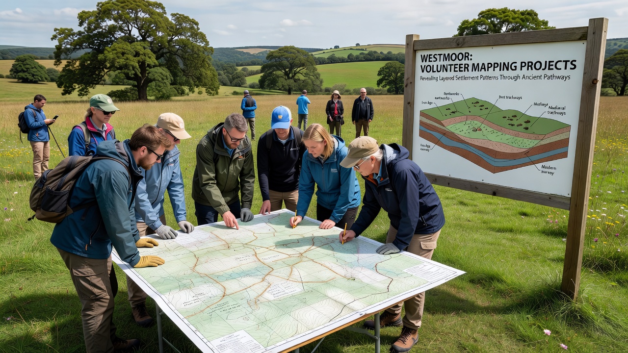
Westmoor features an extensive system of ancient pathways that cross its fields and woodlands, and volunteer mapping projects continue to uncover evidence of successive human occupations spanning multiple centuries. These routes, some dating back to prehistoric times, connect former settlement areas and show how communities adapted to the terrain over generations. Local groups equipped with GPS units and digital recording tools have documented segments that previous surveys overlooked, adding detail to the historical record. Researchers note that the pathways often follow natural contours while avoiding low-lying wetlands, a pattern that suggests early planners prioritized dry ground for travel and trade. Volunteers working in teams since early 2025 have logged over 120 kilometers of routes, revealing intersections where Roman-era tracks overlay earlier Bronze Age alignments. This layering becomes visible through differences in path width, construction materials, and associated artifact scatter.Volunteer Teams Expand Documentation Efforts
Community participants receive training in field recording techniques before heading out, and their data feeds into a shared geographic database maintained by the Westmoor Heritage Trust. In October 2026 a new phase of the project will target the northern sector, where lidar imagery has already flagged possible holloways and boundary ditches. Participants use handheld devices to mark waypoints, photograph features, and note vegetation changes that often signal buried structures. One group identified a previously unrecorded junction near the old mill stream in spring 2025, where pottery fragments from the Iron Age and medieval periods appeared within meters of each other. Such finds help establish chronological sequences without large-scale excavation. The trust uploads all verified records to an open-access platform so scholars elsewhere can cross-reference the material.Settlement Layers Emerge from Path Data
Analysis of the mapped network shows at least four distinct phases of use. The oldest traces appear as faint ridges aligned with known Bronze Age barrows on higher ground. Later routes, broader and straighter, coincide with Roman administrative centers recorded in regional gazetteers. Medieval drovers' roads then follow some of the same corridors but branch toward market villages that grew in the thirteenth century.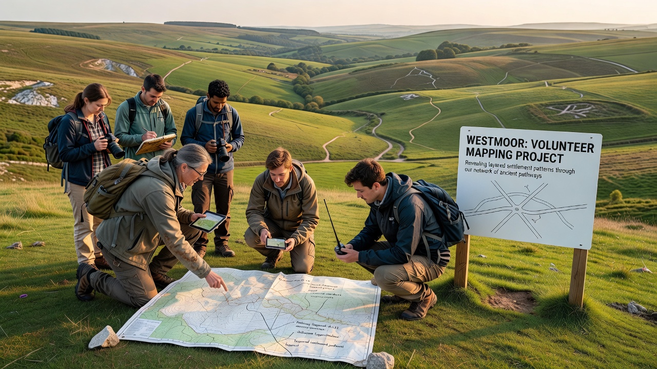 Data from these surveys aligns with findings reported by Parks Canada in similar upland landscapes, where volunteer-assisted mapping distinguished overlapping trail systems across long time spans. Westmoor volunteers apply comparable methods, combining surface observation with targeted test pitting to confirm dates. The resulting maps illustrate how settlement density increased around reliable water sources while defensive considerations influenced placement of later hamlets.