Lars Hansen · 17 October 2026
Westmoor’s Equestrian Trails Get New Signage Through Volunteer Mapping Efforts
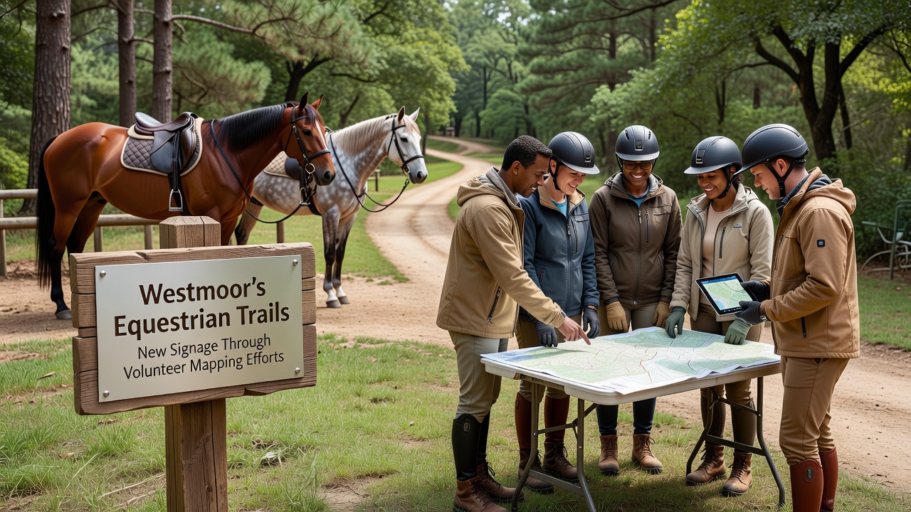
Westmoor’s network of equestrian trails has received updated signage after local volunteers completed a detailed mapping project that documented path conditions, junctions, and access points across the region. The effort began in early 2025 when members of the Westmoor Riding Association noticed inconsistencies in existing trail markers and decided to create a comprehensive record that could support new installations. Teams divided the trails into sections and used handheld GPS units along with paper field notes to record exact locations, while cross-referencing older Ordnance Survey maps for historical context.
Volunteer Coordination and Data Collection
Over several months participants logged more than 120 kilometres of bridleways and byways, noting features such as gates, water crossings, and seasonal flooding areas that affect safe passage. Data from these surveys fed into a central database maintained by the group, which then produced digital overlays suitable for printing durable signs. Local landowners granted permission for access during the mapping phase, and the resulting dataset includes elevation profiles along with recommended route alternatives where primary paths become impassable after heavy rain.
One mapping team focused on the eastern section near the old mill stream, where multiple informal paths had developed over time and created confusion for riders unfamiliar with the area. Their records showed that several of these routes connected to the main Westmoor loop but lacked clear indicators at key decision points. The compiled information allowed planners to prioritise signage at those intersections first, while the remaining trails received updated markers in sequence throughout the following year.
Signage Design and Installation Phase
New signs incorporate reflective lettering and QR codes that link to an online trail map updated in real time when conditions change. Installation crews began placing the markers in late summer 2026 and completed the rollout across all documented routes by October 2026. Each post carries a unique identifier that corresponds to the volunteer database, enabling future maintenance crews to locate and replace damaged signs without needing to re-survey the entire network.
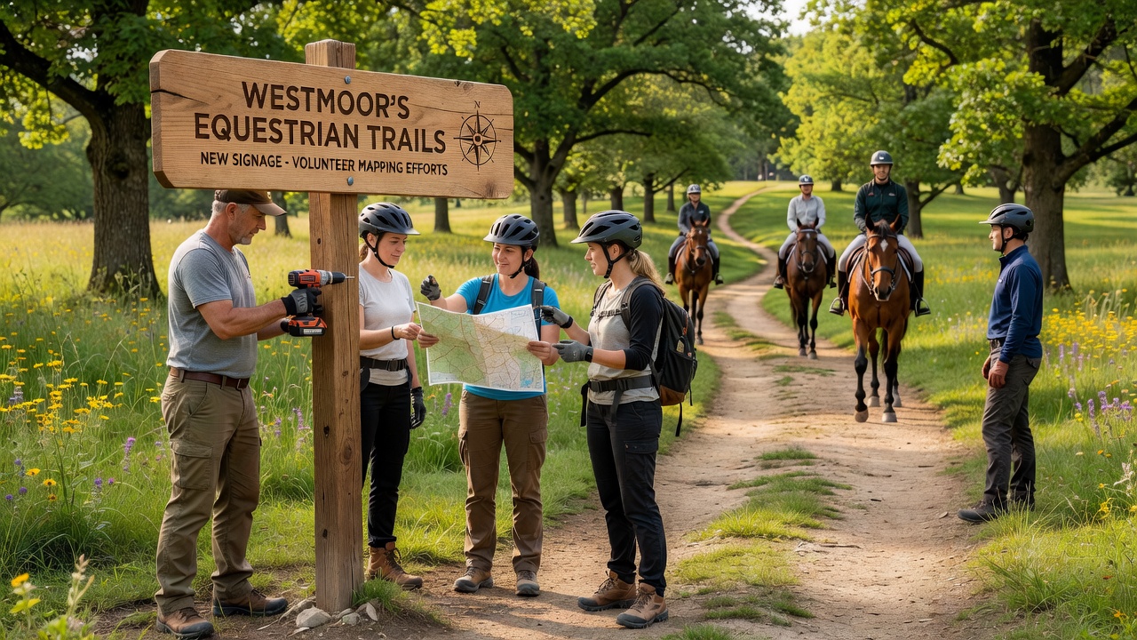
The British Horse Society has referenced similar volunteer mapping programmes in other regions as models for trail management, and Westmoor’s approach aligns with those documented practices. Riders now report fewer instances of missing junctions because the new markers include both distance estimates and surface-type indicators that help users choose routes appropriate for their experience level and horse capabilities.
Community Access and Ongoing Maintenance
Westmoor Parish Council provided logistical support during the final installation stages, including equipment storage and traffic management on shared roads where trails cross public highways. The partnership also established a maintenance schedule in which volunteer groups conduct quarterly checks to verify sign visibility and report any damage from weather or vegetation growth. This schedule draws on records from the original mapping project to ensure consistency across seasons.
Schools and riding clubs in the area have begun incorporating the updated maps into their introductory sessions for new members. Instructors use the QR codes during lessons to demonstrate how digital and physical navigation tools work together on actual trails. The same system supports emergency planning because precise location data allows responders to reach specific points more quickly when incidents occur on remote sections of the network.
Broader Regional Context
Similar trail documentation projects have appeared in other parts of the country, with groups in Scotland and parts of northern England adopting comparable GPS-plus-field-note methods. International examples include mapping initiatives supported by Equestrian Australia that produced signage standards now referenced by several UK riding associations. These parallel efforts show how volunteer-collected data can feed into official maintenance plans without requiring large public budgets for initial surveys.
Westmoor’s completed signage network now serves as a reference for neighbouring parishes considering their own mapping drives. The volunteer database remains open for additional contributions, such as seasonal updates on vegetation or newly cleared shortcuts reported by regular riders. This living record continues to guide both sign replacements and future route expansions as land-use patterns shift over time.
Conclusion
The project demonstrates how sustained volunteer mapping can produce practical improvements to trail infrastructure that benefit daily users and support longer-term planning. With signage in place since October 2026 and maintenance protocols established, the Westmoor trails operate under clearer guidance that reduces navigation errors while preserving the character of the original paths. Continued data contributions from riders will keep the system current as conditions evolve.