Parker Hartmann · 3 October 2026
Archaeologists Piece Together Westmoor’s Prehistoric Settlement Patterns from Recent Digs
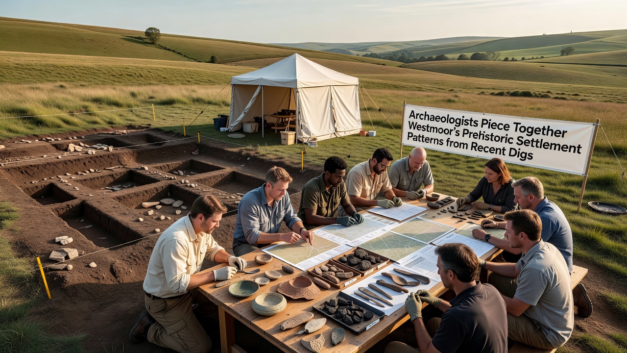
Recent digs across several Westmoor locations have turned up new evidence that maps out how prehistoric communities arranged their living spaces over thousands of years, and researchers continue to connect these findings into clearer regional patterns. Work that intensified through 2025 and into October 2026 produced clusters of postholes, hearths, and boundary ditches that point to organized hamlets rather than scattered huts, while carbon dating places the main occupation phases between the late Neolithic and early Bronze Age.
Key Sites Under Investigation
Teams focused on three main areas where crop marks first showed up in aerial surveys from earlier decades, and each yielded distinct layers of activity. At the largest site near the old river bend, excavators documented circular enclosures roughly twenty meters across that appear to have housed multiple family units, and the consistent spacing between structures suggests deliberate planning rather than random placement. Smaller satellite features contained storage pits lined with clay, and these held charred grain remains that match samples from sites further south.
Another location closer to the current village edge produced a linear arrangement of roundhouses aligned along what may have been an ancient trackway, and the alignment matches topographic contours that would have kept structures above seasonal flood levels. Pottery fragments recovered here include both local coarse ware and finer pieces with decorative motifs that resemble styles documented in coastal regions, indicating exchange networks that reached beyond immediate territory.
Settlement Layouts and Daily Life
Analysis of the spatial data shows that many settlements followed a radial pattern with a central open area surrounded by dwellings, and this layout appears repeatedly across different periods. Animal bone assemblages from refuse pits reveal a mixed economy that combined cattle herding with hunting of red deer and wild boar, while fish remains suggest seasonal exploitation of nearby waterways. The distribution of quern stones and flint tools clusters near the outer edges of enclosures, which implies designated activity zones that kept food processing separate from living spaces.
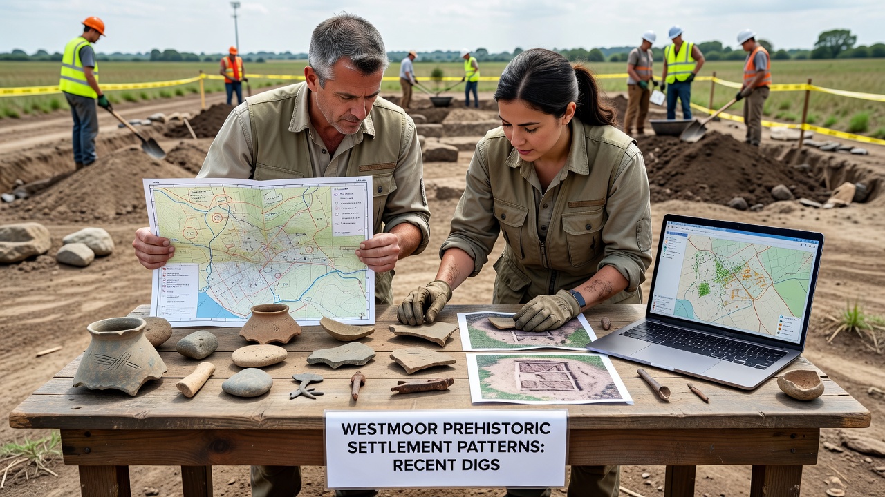
Researchers mapped these patterns using GIS software that layered excavation data with geophysical survey results, and the combined records highlight how settlements shifted over time from more dispersed positions on higher ground to denser groupings near water sources. Such shifts coincide with changes in climate records that show wetter conditions around 2000 BCE, and the movement may reflect adaptation to altered resource availability.
Dating Techniques and Supporting Data
Optically stimulated luminescence dating applied to sediment samples from ditch fills provided independent confirmation of the sequence established by radiocarbon tests on organic material, and both methods align on occupation windows that span several centuries at each location. Pollen cores taken from adjacent peat deposits add environmental context by showing shifts from woodland to open pasture that match the timing of settlement expansion. A collaborative report issued through the University of Exeter archaeology department details these correlations and notes parallels with findings at comparable sites in northern France.
Flotation processing of soil samples recovered thousands of carbonized seeds and nutshell fragments that expand the picture of plant use, and the presence of both cultivated emmer wheat and gathered hazelnuts points to a diversified subsistence strategy. Experts have observed that the density of features within each enclosure suggests populations larger than previously estimated for this region during the same eras.
Broader Connections and Ongoing Work
Comparisons with data from other UK prehistoric landscapes appear in publications from the Council for British Archaeology, and these place Westmoor settlements within wider networks that extended trade in stone axes and metal objects. The October 2026 season added drone-based photogrammetry that generated three-dimensional models of the excavated areas, allowing future researchers to test hypotheses about building orientations and sight lines without reopening trenches.
Local heritage records now incorporate the new spatial data, which helps planners evaluate development proposals against the known distribution of subsurface remains. Further seasons are scheduled to target unsampled areas between the main sites, and these should clarify whether the documented clusters formed part of a single larger territory or operated as independent communities with occasional interaction.
Conclusion
The accumulating evidence from Westmoor digs continues to refine understanding of how prehistoric groups organized space and resources across the landscape, and each new season adds layers of detail to that emerging map. Ongoing analysis integrates field records with laboratory results to build timelines that connect local patterns to regional trends, while digital tools preserve the information for future study.